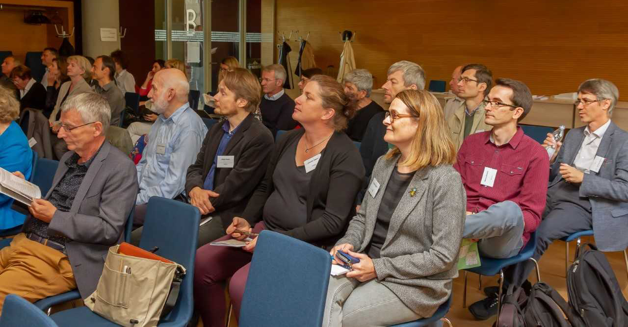
 The International Commission for the History of Towns (ICHT) held its annual meeting in Budapest, September 18–20, 2019, co-organized with the “Lendület” Medieval Hungarian Economic History Research Group of the Institute of History of the Research Centre for the Humanities. The three-day conference (Economic Functions of Urban Spaces from the Middle Ages to the Present) was co-sponsored by the “Lendület” research group and the Central European University. The program of the first day took place at Central European University, the second day at the Budapest History Museum, which also supported the event, and the third at the Research Centre for the Humanities.
Economic Functions of Urban Spaces from the Middle Ages to the Present
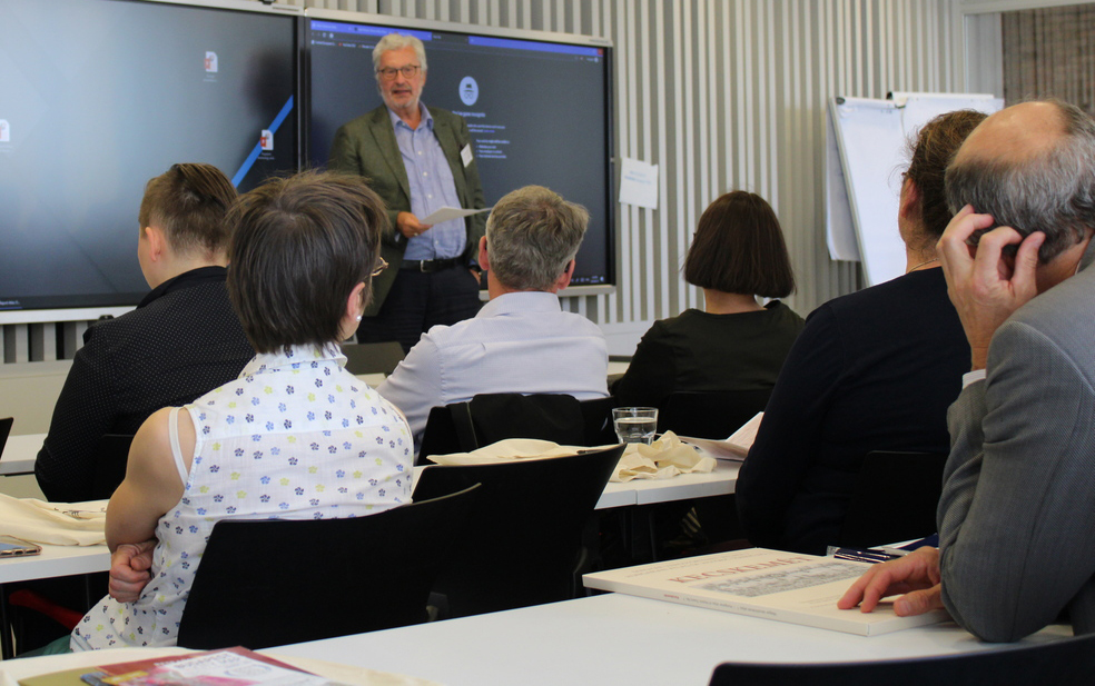
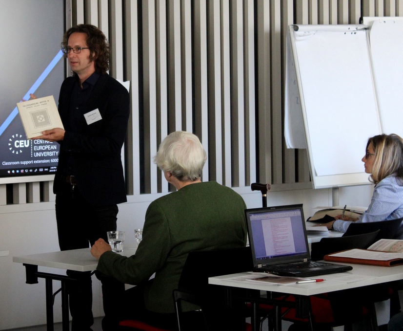 On the first day of the conference a workshop was organized to address the problem of digitizing the Historic Town Atlases. This event marked the fiftieth anniversary of the publication of the first volume of the ICHT’s European Historic Town Atlas Series in 1969. In the past fifty years more than 550 atlases have been published which study individual towns using more or less the same criteria. This is an important achievement since it allows comparative historical investigations of urban morphology. The first half century of the atlas program was summarized in an overarching presentation by Anngret Simms, professor emeritus of University College Dublin. She also drew attention to the fact that, despite the large number of atlases published so far, there are significant differences in the coverage of the different regions of Europe. Daniel Stracke (Institut für vergleichende Städtegeschichte, Münster), who took over the position of convenor of the Atlas working group from Ferdinand Opll, emphasized in his introduction to the problem of digitizing historical town atlases that the printed publications are not easy to handle and sometimes difficult to access. The volumes were produced using somewhat different nomenclatures, which makes them difficult to compare. As he pointed out, providing a common platform for the digitized maps would solve almost all the problems that originate in the divergent publication principles of the atlases published earlier. Many of the representatives of the various digitization projects of the national atlas series suggested that the most important step would be to vectorize the map sheets. This would, to a large extent, do away with the problems created by the different traditions used in the national atlas series. The most important obstacle, however, is that the digitization projects, similarly to the atlas projects themselves, are being conducted on a national basis. Nonetheless, the Polish, Italian, Luxembourgian, Irish, and German examples all had relevant methodological points and showed snapshots of how well the different digitization programs have developed.
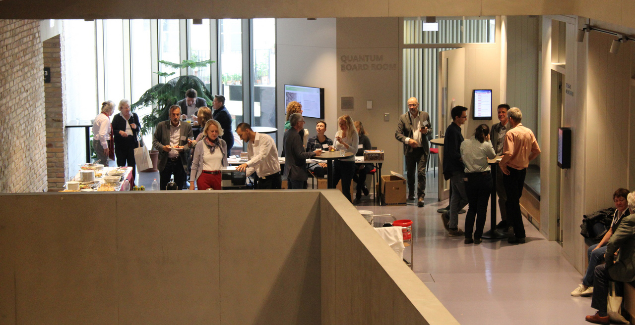 As suggested by the main conference title – Economic Functions of Urban Spaces from the Middle Ages to the Present – in the following two days the focus was on the economic spaces of towns. The papers spanned from Antiquity to the twentieth century in time, from Norway to Southern Italy and from the Iberian Peninsula to Novgorod and, although only for a flash, the American continent. Each block consisted of two papers, which in many cases addressed similar problems with centuries of gaps in time and places and spaces far from one another.
The conference was opened by the introduction of the three organizers. Katalin Szende (Central European University) gave an overview of the main principles of arranging the program and emphasized the intention to provide an overview of the economic processes and changes that have shaped urban space over time. Boglárka Weisz (“Lendület” Medieval Hungary Economic History Research Group, Research Centre for the Humanities) spoke briefly about market places in medieval Hungary and the commercial and non-commercial buildings and arrangements pertaining to them. Erika Szívós (Eötvös Loránd University, Institute of History) expressed her appreciation for the co-operation of the universities and research institutions who helped organize the conference and emphasized how important it was to have presentations that discuss different time periods evenly. Providing insights into the program, she also highlighted new kinds of industrial and commercial spaces as well as building types that appeared in the towns of Europe in response to the challenges of nineteenth- and twentieth-century urbanization.
Rosa Smurra (Università di Bologna) discussed the market places of medieval Italy. Using almost a dozen examples from the towns of Northern Italy, she pointed out the continuity of Classical fora and medieval market places; she then showed how, from the tenth century onwards, bishops’ towns acquired market privileges with the support of the Holy Roman emperors. Smurra also drew attention to the fact that markets in the north – in towns such as Milan, Bologna, and Verona – developed rapidly thanks to the local autonomy; in the south, royal power was much more influential in the expansion and differentiation of markets and had a direct impact on their sizes. The differences in northern and southern Italian development were also reflected in the spatial characteristics (the morphologies of markets). In northern and central Italy, market squares are dominated by the surrounding buildings, including the town hall, an important church or guild halls, whereas in the south, in places such as Naples or Palermo, bazaar-like shopping streets prevail instead of open market places.
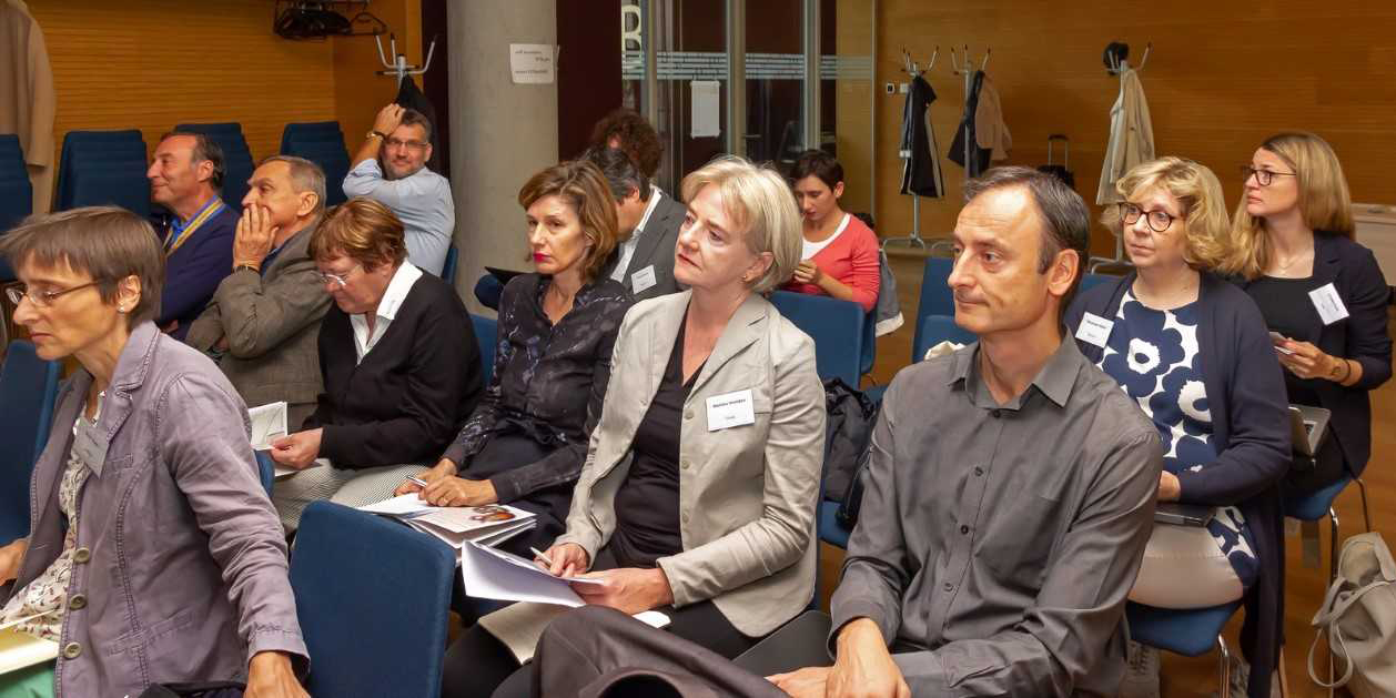 Dan Dumitru Iacob’s (Institutul de Cercetări Socio-Umane Sibiu) paper dealt with markets in the Romanian principalities in the eighteenth and nineteenth centuries. The weakening of the impact of the Ottoman Empire brought major transformations in Moldavia as well as Wallachia. Numerous new market places and towns came into existence in this period. The paper, besides addressing the formation of new commercial settlements, also drew attention to the modernization of the market places themselves, which can mostly be attributed to reasons of sanitation and hygiene. Iacob emphasized that apart from the economic functions of market places, their role in social life also deserves more attention, since markets were just as much predecessors to modern amusement parks as to shopping malls.
The development of Ruthenian towns in the Middle Ages has taken a long time to attract the attention of Western and Central European scholars. The presentation of Olha Kozubska-Andrusiv (Ukrains'kyy Katolyts'kyy Universytet, Lviv) filled this gap. German peasants and traders appeared in the region from the fourteenth century onwards and were settled and granted privileges according to the Magdeburg law by Ruthenian princes and later by Polish kings. The settlements or quarters that emerged from the settling-in process tend to be characterized by a grid plan that is still present in the tissue of some towns in the region. As was shown in the paper, while the street patterns in many cases were transformed from the fourteenth century to the present, the market places show a great degree of stability in almost every case. Based on the similarities in the sizes of house blocks and market places, Kozubska-Andrusiv argued that the same persons could have been active in laying out the ground plans for several towns.
Renáta Skorka’s (“Lendület” Medieval Hungary Economic History Research Group, Research Centre for the Humanities) paper focused on the economic impact of the foundation of two houses of the Poor Clares in fourteenth-century Hungary, one in Óbuda and the other in Oradea (Várad in the Middle Ages). The circumstances of the foundation of both institutions are well known. Both nunneries, thanks to donations of their influential founders, Elisabeth of Poland, the dowager queen, and Andrew Bátori, bishop of Várad, not only came to possess contiguous closed lands in their quarters within a few decades, but also became the owners of economic facilities that provided them with significant incomes (fulling and flour mills, market and customs halls). As Skorka showed, their expansion lead to increasing conflicts between the Poor Clares and the local population and resulted in a decrease in urban functions.
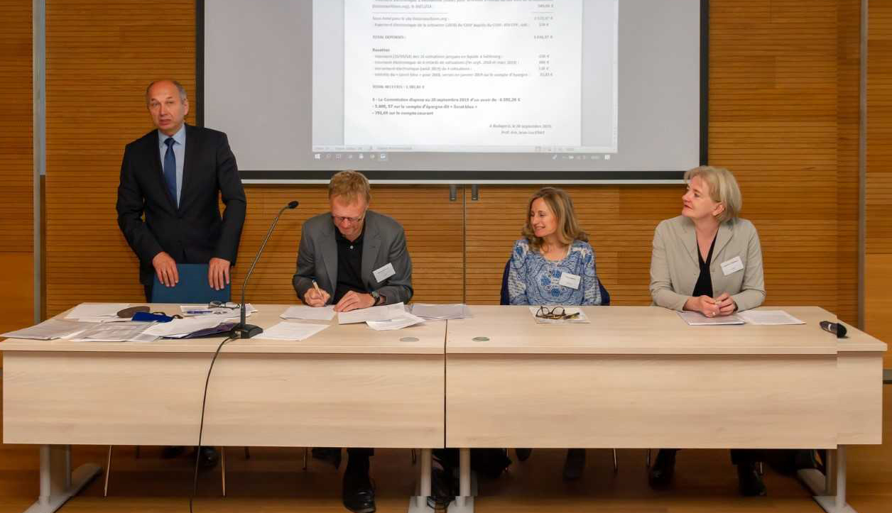 Maximo Diago Hernando (Centro de Ciencias Humanas y Sociales, Madrid)’s presentation focused on transhumance sheep herding on the Iberian Peninsula, which, as he explained, was a crucial factor in the economy and development of some of its towns in Early Modern and Modern times. While research in past decades in the context of Central Europe has usually pointed to the importance of cattle on the hoof, Diago Hernando analyzed sheep drives in Spain. Unlike what had been suggested earlier, the Iberian sheep flocks in some cases were shepherded over major distances between the winter and summer seasons. He showed examples of herds that, after being overwintered in Andalusia, were shepherded as far as Galicia in order to provide the best possible pastures. Sheep flocks provided the towns at the ends of trade routes along the coast with income from washing and selling the wool.
Werner Freitag (Westfälische Wilhelms-Universität, Münster) presented a settlement type not frequently discussed in the scholarship, namely, industrialized villages and small towns. The villages and small towns in the western part of Münsterland, such as Gronau, Epe, and Borghorst, went through rapid industrialization in the second half of the nineteenth century, in which the textile industry was by far the most important driving force. The paper addressed to what extent the phenomenon usually referred to as “rurbanity” can be shown at these settlements in the late nineteenth and early twentieth centuries. In almost all these villages and small towns, new, representative, town halls, churches, and other public buildings (schools, hospitals) were built with the support of local factory owners. The settlements went through major developments to supply water, gas, and electricity to dwelling houses, fundamentally changing the face of the region, which had previously been an inner periphery with a highly rural character.
Mária Pakucs’s (Institutul de Istorie “Nicolae Iorga,” Bucharest) paper focused on the commerce and merchant societies of two Transylvanian towns, Sibiu and Brașov, in the Middle Ages and Early Modern period. In the shadow of the political transformations of the two towns, their economies and societies also went through fundamental changes in this period. Pakucs discussed in detail the so-called “Greeks” of Sibiu as a newly arriving social group. She presented the case of the Boczis, a Greek merchant family which managed trade networks that extended from Nuremberg to the Ottoman Empire.
At the beginning of Danish rule, the two most important export products of Norway were fish and timber. Finn-Einar Eliassen (Universitet i Sørøst-Norge, Notodden) focused on the latter. The paper’s main question was how the trade in the different timber products contributed to the urban development of Norway in Early Modern times. As he pointed out, besides the presence of rivers that suited the transportation of felled trees by floating, two factors were important in the urbanization connected to the timber trade: the possibility of building saw mills, on the one hand, and, on the other, the possibility of building harbors at the mouths of rivers used for floating the trees. The large amounts of timber exported from these harbors in Norway reached many parts of Europe, most importantly London and other towns in England, as well as the Low Countries.
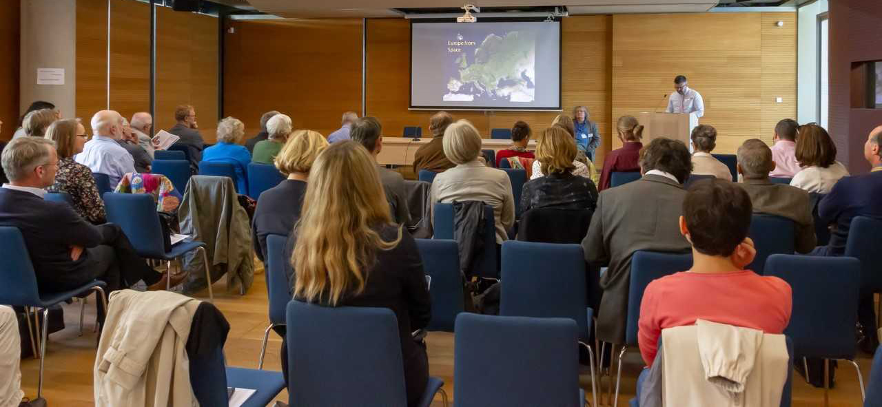 Michael Potterton’s (Maynooth University) paper dealt with the trade of Irish towns in the Middle Ages. He showed that, thanks to large-scale infrastructural projects in Ireland, the number of archaeological excavations grew rapidly from the 1990s. With the finds from these excavations, new, previously unknown trading links of medieval Ireland started to unfold. New prospection and analytical tools made it possible for archaeologists to uncover a large number of coins as well as different goods of foreign origin. These finds attested to trade connections with the Carolingian Empire in the eighth and ninth centuries. The Viking presence then connected Ireland with new territories. In addition, Potterton emphasized two further processes that influenced the trade connections of the island, first the arrival of the Cistercians and Augustinian canons on the island, and second, English rule, which opened trade connections not only with England but also with France.
Gergely Baics (Columbia University, New York) provided insights into research on the urban economy of the American continent. He focused on the economic life of New York City in the nineteenth century, showing the research potential in studying fire insurance atlases, a source material somewhat similar to European cadastral maps. By analyzing the maps, he was able to identify connections between residential areas, commercial, and industrial districts in nineteenth-century Manhattan. Between the 1830s and 1916 in New York there were no restrictions on conducting economic activities in the different parts of town, thus it was market demand exclusively that determined the areas for shops – including grocery stores, slaughter houses, and butcheries – industrial activities, and residential housing. The GIS-based analysis showed that despite the lack of regulation, there are clear patterns. The north-south-running boulevards became spaces for commerce and the west-east-running streets became areas for residential housing.
Medieval Novgorod was one of the most important commercial centers in Eastern Europe. Pavel Lukin (Росси́йская акаде́мия нау́к, Rossíiskaya akadémiya naúk, Moscow) discussed the relationship of the town with its market in the medieval period. He provided an analysis of some of the birch bark letters that point to local market regulations. He showed that the medieval town had two clearly identifiable parts, which were separated by the Volkhov River. The center of the bishopric – later archbishopric – including the Saint Sophia Cathedral and Kremlin stood on the left bank of the river while the spaces of commerce were on the right bank, including the so-called Gothic Court, which was the most important trading link between the Baltic and Novgorod in the twelfth through thirteenth centuries, and the Peterhof, managed by German merchants. From the fourteenth century onwards, the German traders also leased the Gothic court, which made the Hansa merchants the exclusive traders between Novgorod and Western Europe.
 Peter Eigner (Universität Wien) studied the other end of trade, so to speak, as he discussed small grocery stores and the transformations of small shops instead of long-distance and large-scale trade in twentieth-century Vienna. Eigner argued that, like many towns in Western Europe in the second half of the twentieth century, significant suburbanization developed in the Austrian capital. A somewhat neglected element of this process was the closure of small grocery stores that served only a few blocks. Before the Second World War, the Viennese bought most of their food in these stores, which lost their importance with suburbanization and the appearance of self-service shops and supermarkets. Although the inner districts of the town have become more attractive again in the past few decades, small grocery stores have not reappeared in these neighborhoods. These stores, the centers of “urban villages,” probably disappeared forever and remain only episodes of commercial history.
In the last block of the conference, Franz Irsigler (Universität Trier) discussed the history of the medieval paper trade, which he has been working on for decades. From the thirteenth century onwards, when paper production became widespread in Western Europe, a growing number of towns and micro-regions became specialized in the production of paper. These regions coincided with the spread of water mills, which increasingly shifted to producing paper. Then, from the fifteenth century onwards, these areas also became centers of printing. As Irsigler showed, the fifteenth- and sixteenth-century paper trade gave rise to dozens of specialized trading companies which connected the paper mills, printing presses, and book sellers.
Judit Klement (Eötvös Loránd University, Institute of History and Institute of History, Research Centre for the Humanities) focused on the spatial distribution of steam mills in the Hungarian capital, Buda, Óbuda and Pest (united as Budapest from 1873), in the second half of the nineteenth century. A rapidly increasing population and lying at the geographical center of trade routes towards Western and Central European markets made the city one of the most important centers for the milling industry worldwide. Budapest became the foremost center of milling the grain harvested in Hungary. Klement analyzed the clusters among 18 steam mills that were founded in Buda and Pest in the five decades after 1840. She associated the formation of mill clusters with rapidly changing economic reasons such as the concentration of other industries, demographic changes, water transportation opportunities and the building of railroads and railway stations.
After the last presentation the participants of the conference experienced the redevelopment of the former industrial zone of the Ferencváros (in the southern part of Budapest), where several of the steam mills once operated, in a guided walk. Some of these mills have partly been saved from destruction by being adapted to new residential and commercial functions. The participants also visited the Great Market Hall of Pest and the Unicum Museum, where one of the most traditional Hungarian alcoholic drinks is produced.
András Vadas


